Powerful Drones Built for Precision Agriculture
Explore Hylio Drones
Discover a full lineup of Hylio agricultural drones designed to deliver precision, efficiency, and reliability in the field. Whether you’re looking to increase coverage, reduce input costs, or streamline your spraying operations, these advanced systems are built to meet the demands of modern farming.
At Little Squirt Spraying Inc., we help you compare models, choose the right fit for your operation, and provide the support you need to get the most out of your investment.
As your Hylio Representative, let Little Squirt Spraying Inc. help you make the right Drone purchase!
ARES
HYL-150
The HYL-150 ARES is designed, engineered, and manufactured from the ground up at Hylio headquarters in Richmond, Texas. Built on over a decade of experience in the ag-drone industry, it combines a heavy payload capacity, durable and serviceable components, an ergonomic design, and Hylio’s AgroSol Ground Control Software, which enables advanced swarm operations. The system is built for serious agricultural operators who need performance, reliability, and scalability in the field.
- 13 / 20 Gallon Tank
- 110 LB. Payload Capacity
- Up to 70 acres/hr @ 2 GPA Rate
The ARES can operate in both autonomous and manual flight modes, allowing operators to control up to three drones from a single ground station during fully automated missions, with an RC controller included for manual use when needed. Built with aerospace-grade materials, redundant systems, and real-time sensor feedback—including GPS position, flow rate, and altitude—it is designed for demanding field conditions. All flight and application data is automatically stored, giving users access to as-applied maps, maintenance records, and operational insights through the platform interface.
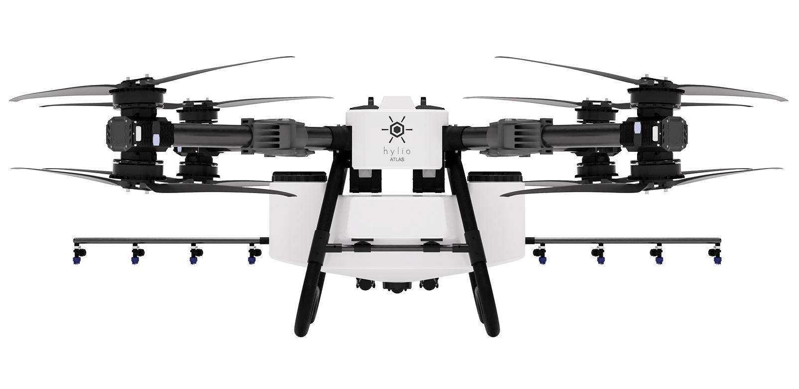
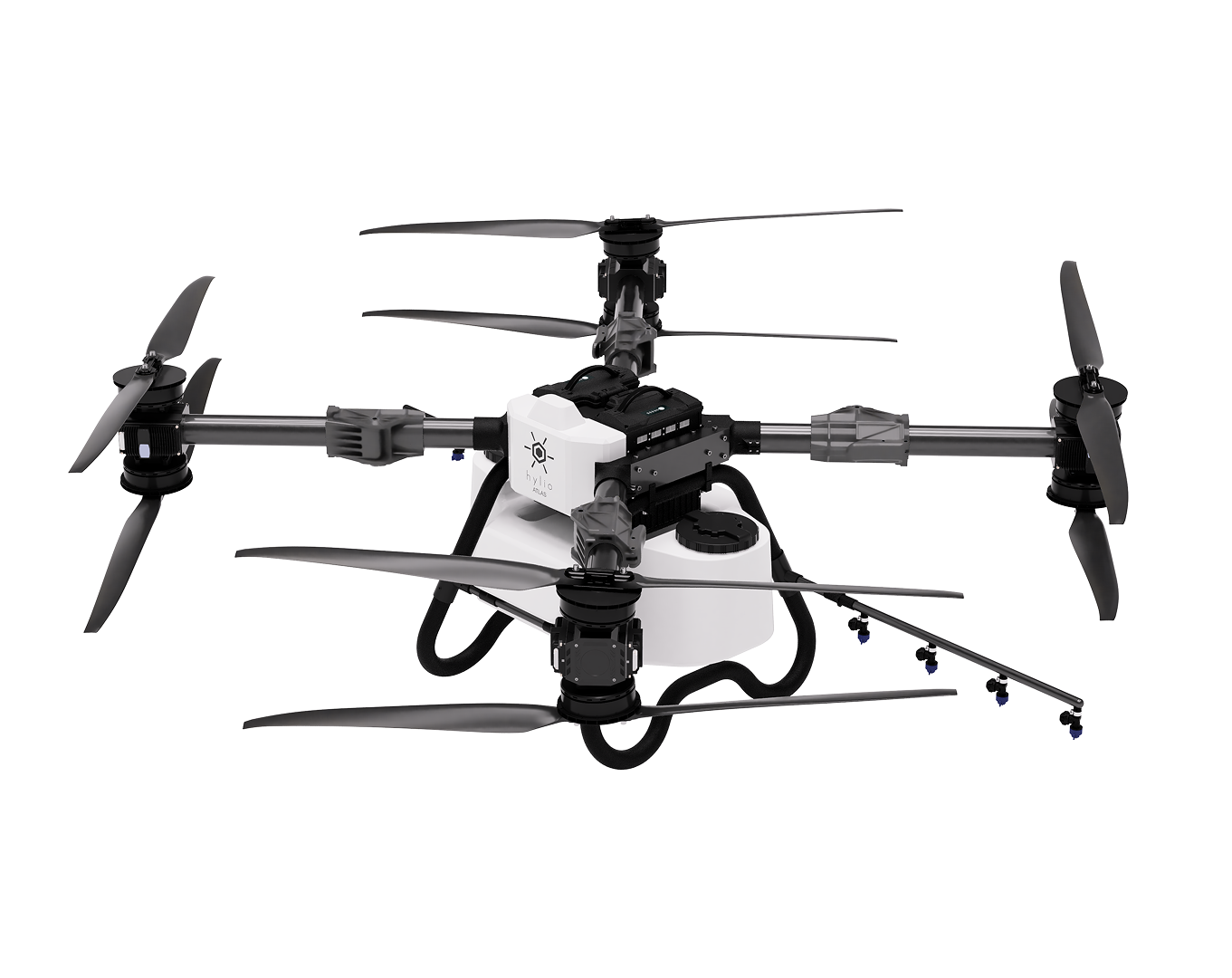
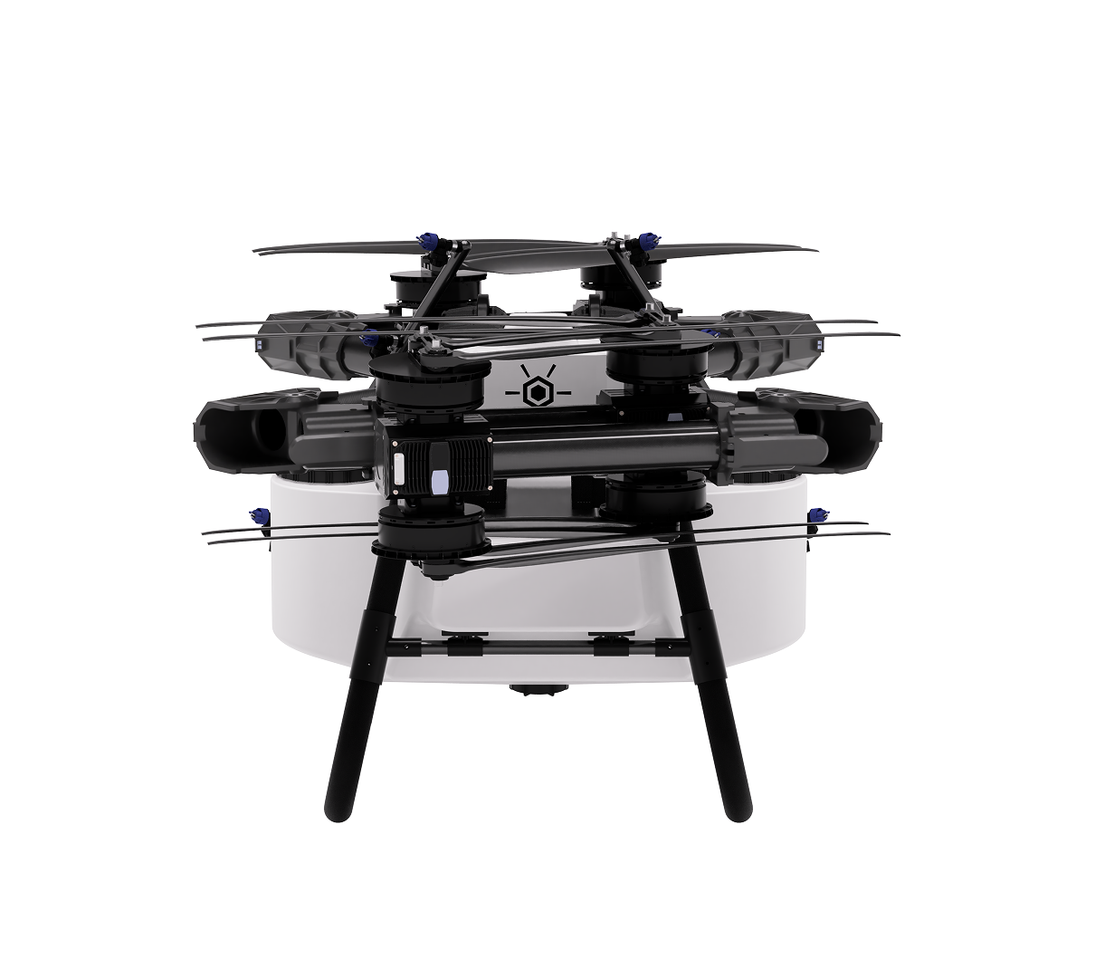
ATLAS
HYL-300
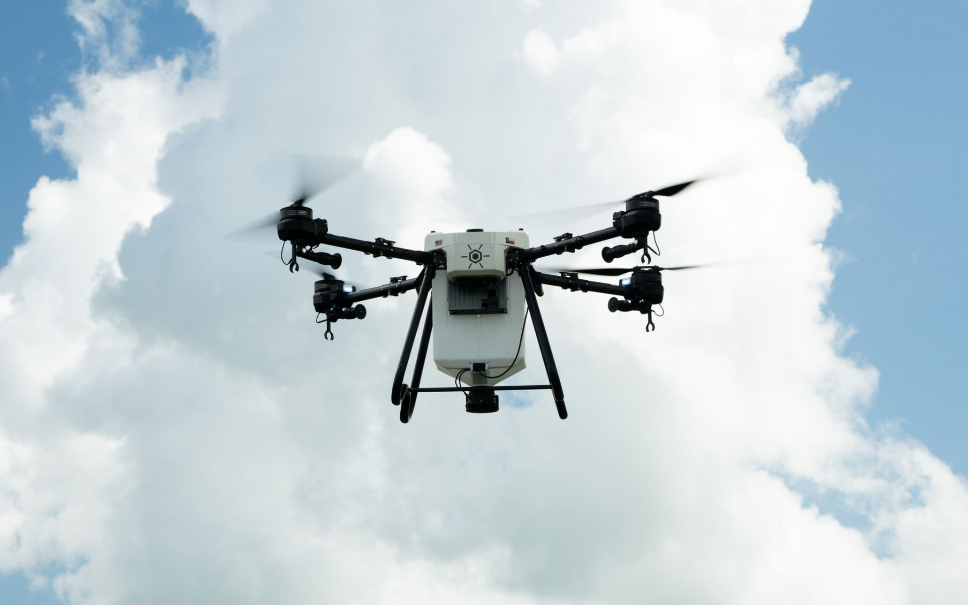
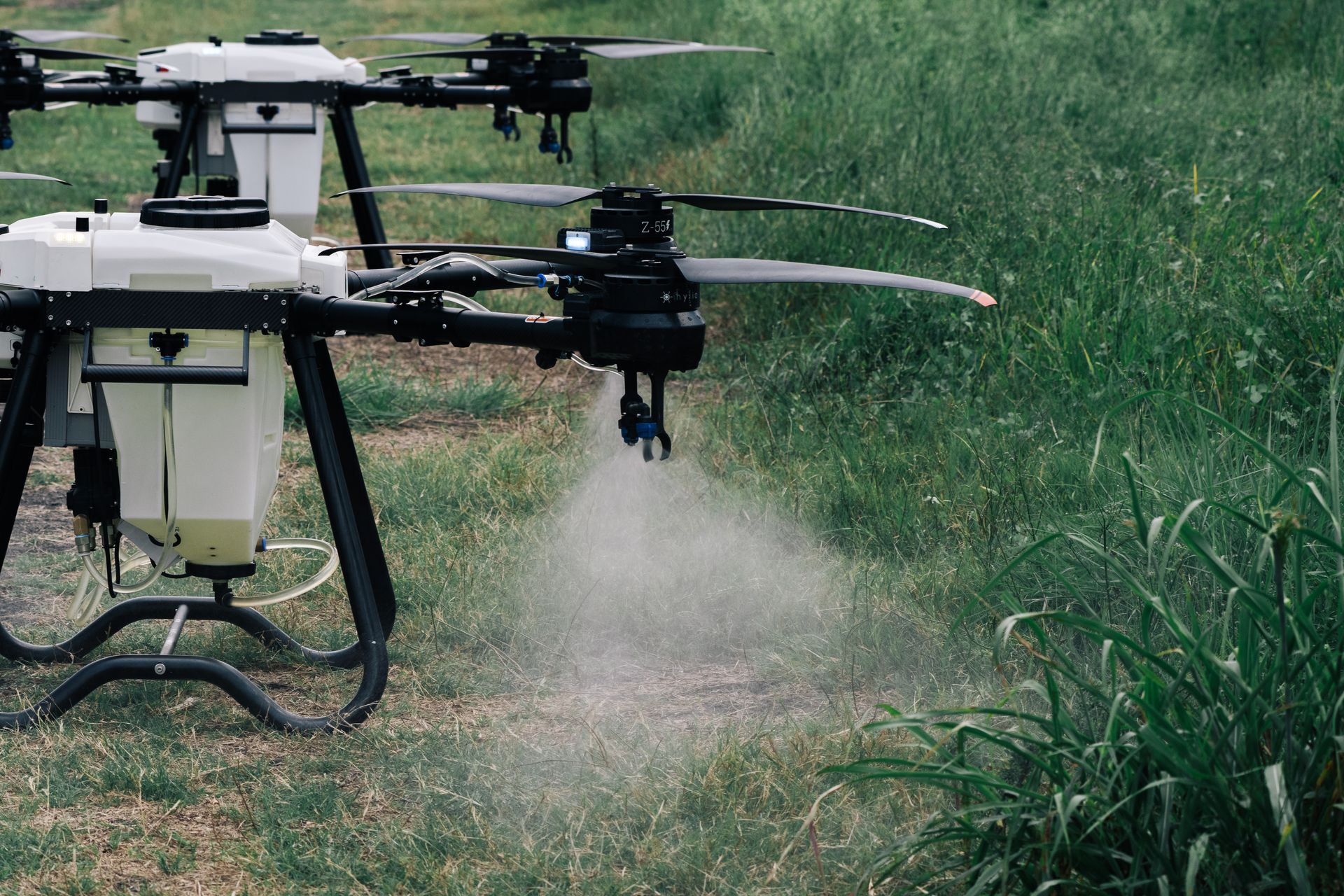
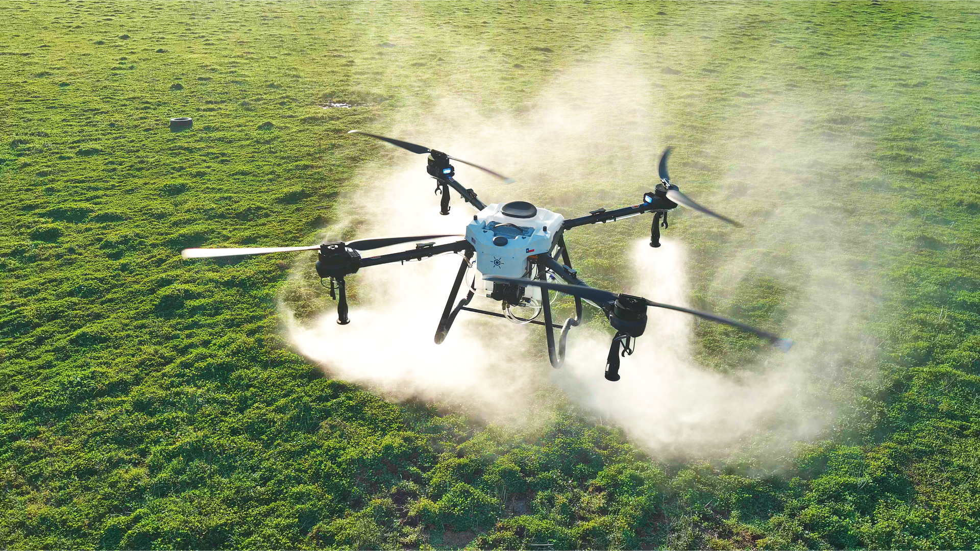
The ATLAS drone is built for performance at scale—delivering bigger capacity, better efficiency, and reliable results in demanding field conditions. Designed for producers who require high application rates of 8–10 gallons per acre, ATLAS is engineered to handle large operations with ease while maintaining precision across every pass.
- 30 / 50 Gallon Tank
- 250 LB. Payload Capacity
- Up to 150 acres/hr @ 2 GPA Rate
With its ability to cover wide areas efficiently, ATLAS takes spraying, seeding, and fertilizing to the next level. It combines productivity and accuracy, allowing operators to complete large jobs faster without sacrificing quality—making it an ideal solution for modern farms focused on maximizing output and efficiency.

PEGASUS
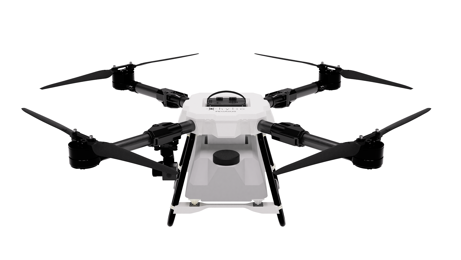
HYL-30
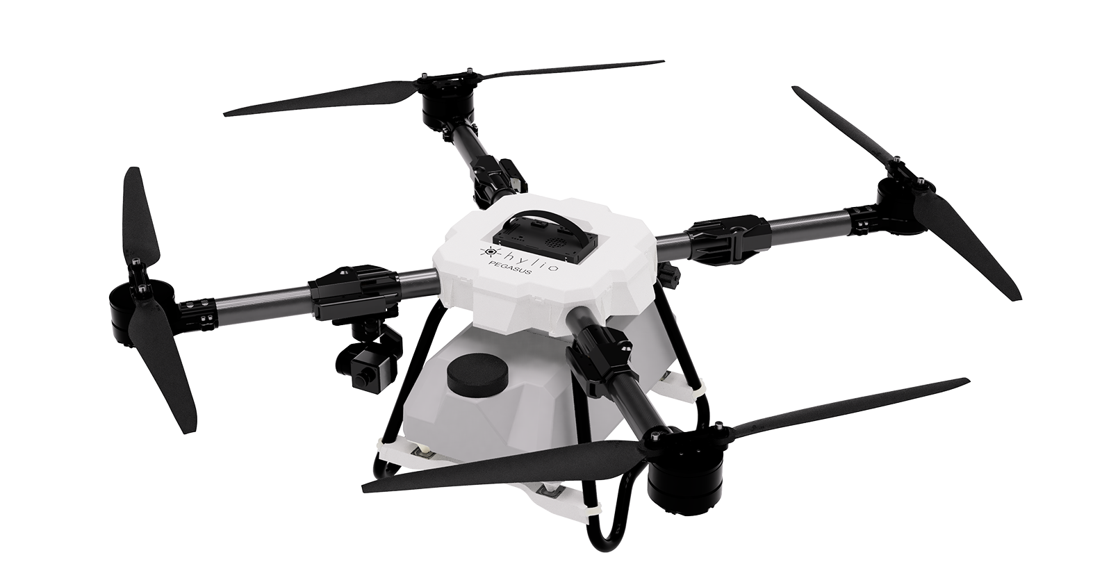
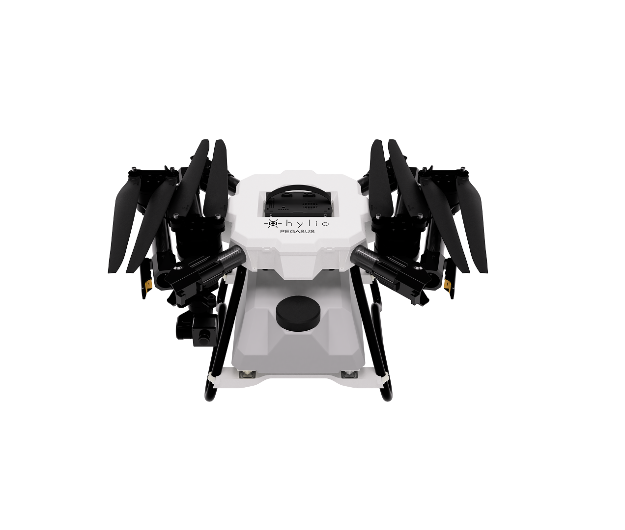
The PEGASUS is a compact, highly maneuverable drone built for precise aerial applications where control and accuracy are critical. It’s ideal for targeted tasks like spot-treating weeds, delivering nutrients to specific areas, and managing disease outbreaks—all while minimizing chemical use and eliminating overspray.
- 2.5 / 4.5 Gallon Tank
- 20 lbs. Payload Capacity
- Up to 13 acres/hr @ 2 GPA Rate
Whether you’re working smaller fields, maintaining industrial areas, or handling detailed applications that require pinpoint precision, PEGASUS delivers the control and flexibility needed to get the job done right.
PHOTON
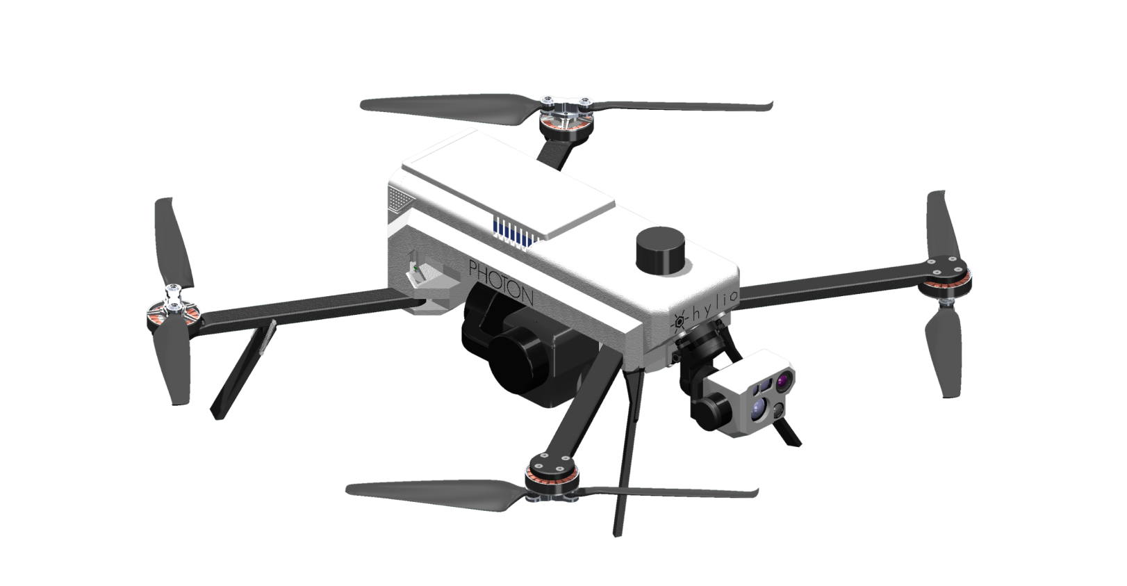
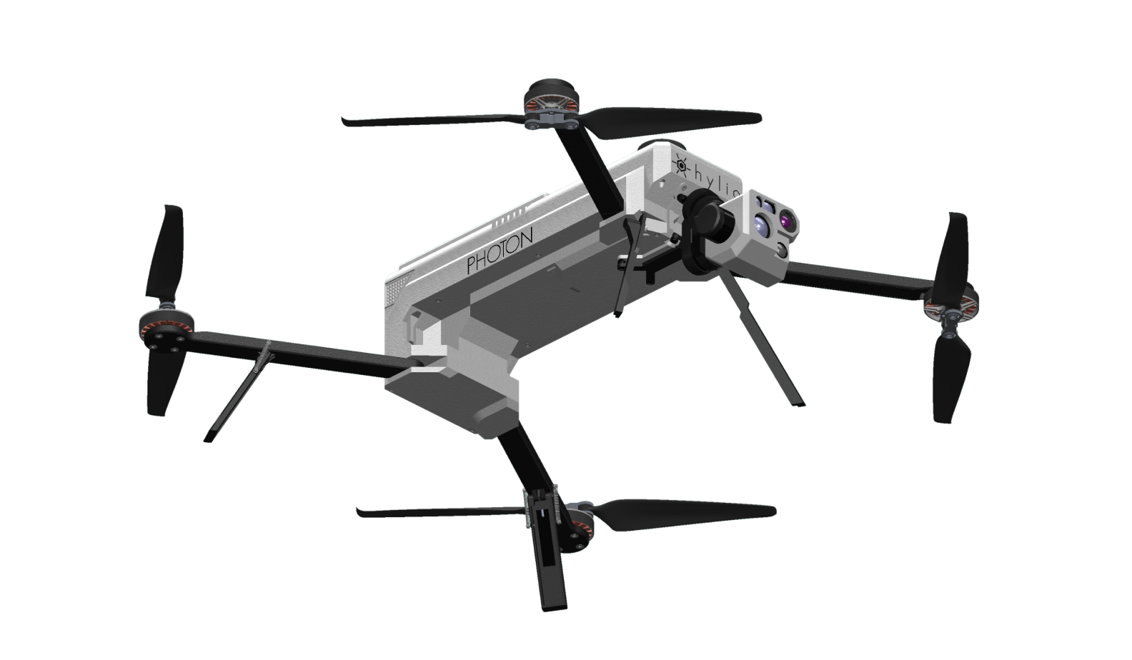
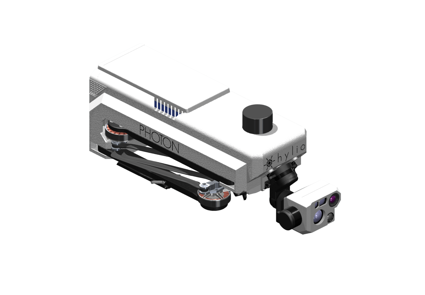
The PHOTON drone is built for large-scale operations, offering 55+ minutes of flight time and advanced multispectral and high-resolution RGB imaging. It allows growers to detect crop stress, nutrient deficiencies, and disease outbreaks before they become visible, giving them a major advantage in protecting yield. With the ability to instantly generate prescription maps, PHOTON supports variable-rate application planning—helping optimize efficiency, reduce waste, and improve overall farm performance across expansive acreage.
Beyond agriculture, PHOTON is a powerful tool for real-time data and situational awareness in critical environments. Its durable, IP55-rated design and quick deployment make it ideal for disaster response, search and rescue, and industrial inspections. Equipped with thermal sensors and advanced imaging options like LiDAR, it can detect heat signatures, create detailed maps, and provide accurate data for inspections, asset management, and decision-making in even the most demanding conditions.